Began teaching at NMU in 1990
Education
- B.S., Northern Michigan University
- M.A., Indiana State University
- Ph.D., Michigan Technological University
About Dr. Regis
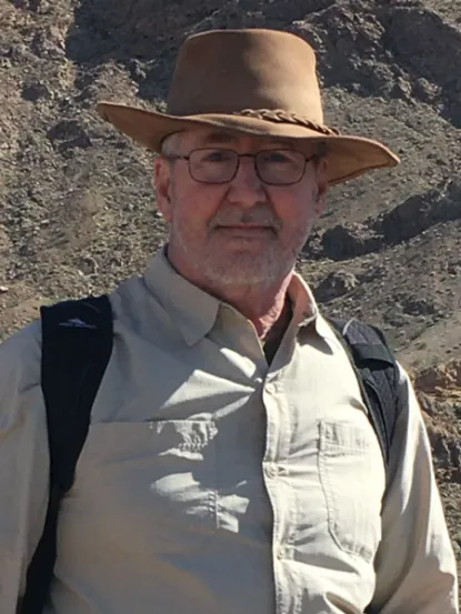
Dr. Regis served as a Professor of Geology and Remote Sensing in the Dept. of Earth, Environmental, and Geographical Sciences. He started teaching at NMU in 1990 while completing his dissertation at MTU. In 1992, he was hired as a full-time faculty member. Dr. Regis has authored or co-authored numerous publications, technical reports, and presentations. He served as a campus representative to the Geological Society of America. He has also been a member of the American Association of Geographers, American Geophysical Union, Society for Sedimentary Geology, the American Society for Photogrammetry and Remote Sensing (former Regional Director), and Sigma Xi.
Research Interests
Dr. Regis’s research interests are mostly regarding the geomorphology of the U.P., particularly the glacial history and glacial landforms. Additionally, he studies groundwater hydrology in glaciated crystalline bedrock terrain, and Lake Superior shoreline processes. He uses remote sensing techniques, including LiDAR and Multispectral Scanner (MSS) data from various satellite and aircraft instruments to map landforms and quantify processes. His current research involves the use of remote sensing techniques to map the distribution and movement of legacy mining tailings (stamp sand) dumped along the shore of Lake Superior. In another recent project, he co-authored a paper on the Paleogeography and depositional environment of a local Cambrian-age sandstone that contained an unusual assemblage of fossils.
Courses Taught

Robert Regis
Professor Emeritus
